QeepTrack!
Advanced GPS dashboard with altimeter, speedometer and compass.
 |
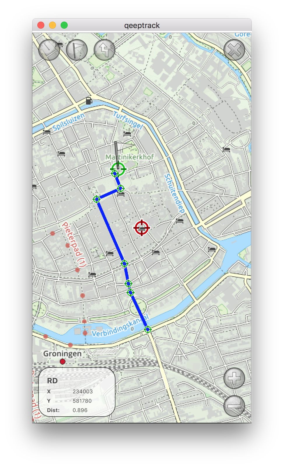
MapViewThe mapview will show your current location on the selected map, and allow for zooming / panning. On the bottom left of the screen you find a small window describing the current location in terms of the currently selected datum, hence this can be X/Y, Northing/Easting or Longitude/Latitude. Clicking this window triggers an option screen to appear, that enables selecting a map type and datum. In the next section this is described in more detail. In this view, you can also set a waypoint (use the flag button on the top to set it to the current center position of the map), or edit a route. To add a routepoint to the current route (or to create a new route in case no route is active), use the route button on top to add the location on the center of the mapview as a new routepoint. A small locator will appear, and if more than one routepoint is present, the points will be connected by a blue line. To remove a routepoint, press and hold the locator for that routepoint for a second, then upon release it will be deleted. The bottomleft display, will display the coordinates of the map center, in the currently selected datum format, as well as the current 'distance'. The distance can be distance to the selected waypoint (in case last a waypoint was set), or the current length of the created route (in case last action was to edit the route). |
 |
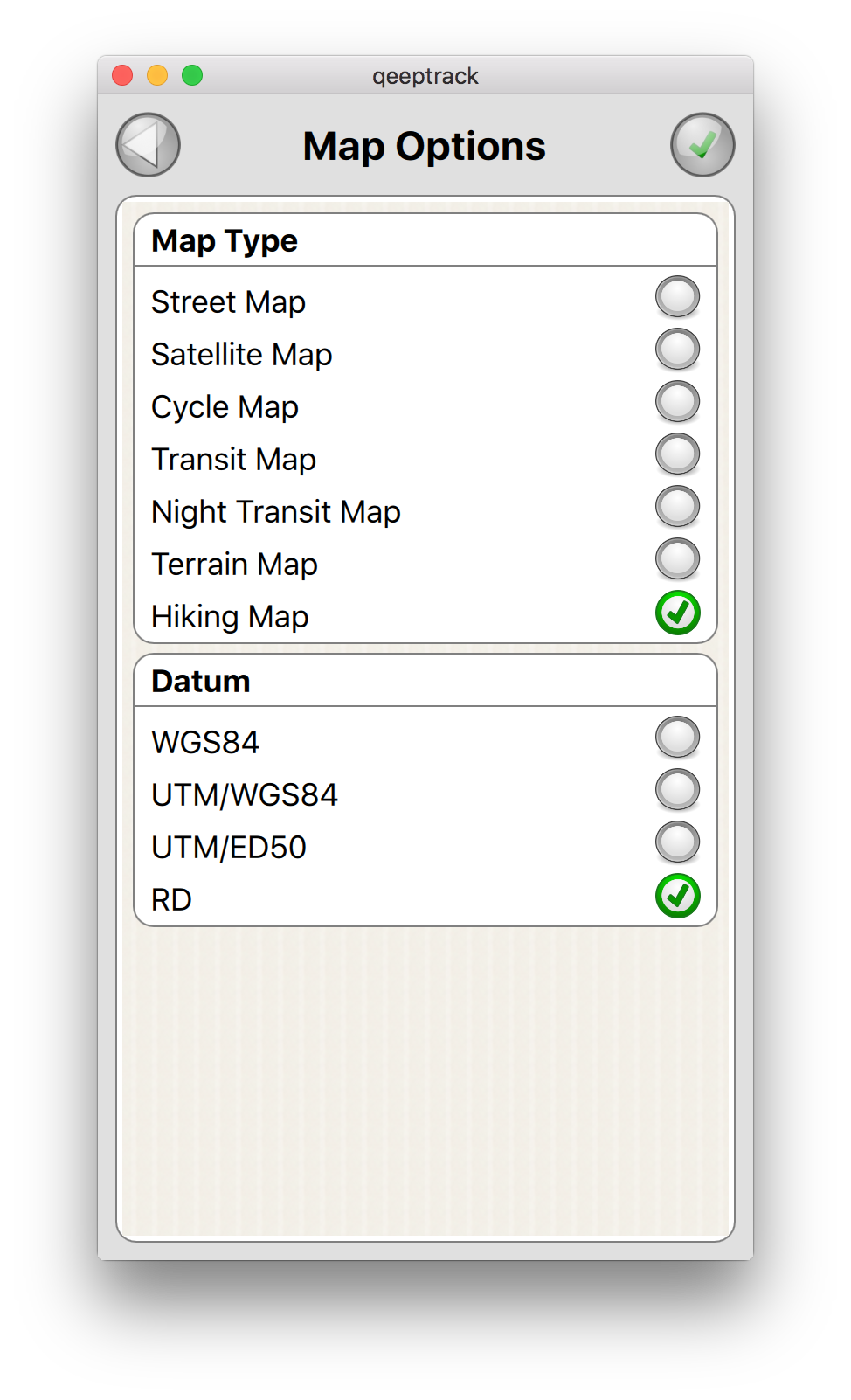
Map OptionsThe map options screen shows a list of available map types, as well as a list of available datums. The currently selected map and datum are highlighted, and can be changed in this view. Press the green confirm button on the right top, to confirm your selection. |
 |
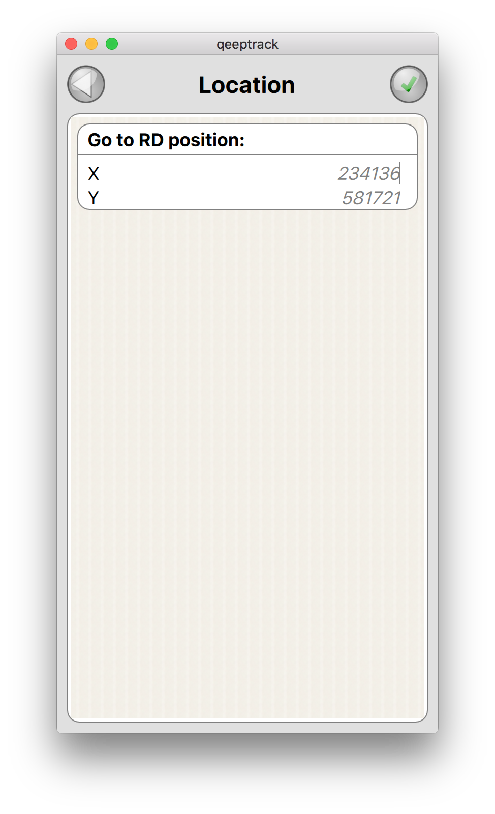
Location InputA longpress on the center locator of the MapView, triggers a location selection dialog, this allows for inputting a new center location in the currently selected datum format. This makes it easier to reposition the map on a location that is taken from an external source, e.g. a paper map, or a website. |